NEIGHBORHOOD GUIDE
West Loop
Converted Warehouses, a Landmark Restaurant Row, and Chicago's Fastest-Growing Downtown-Adjacent Address
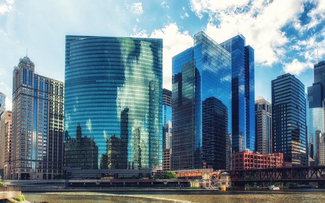
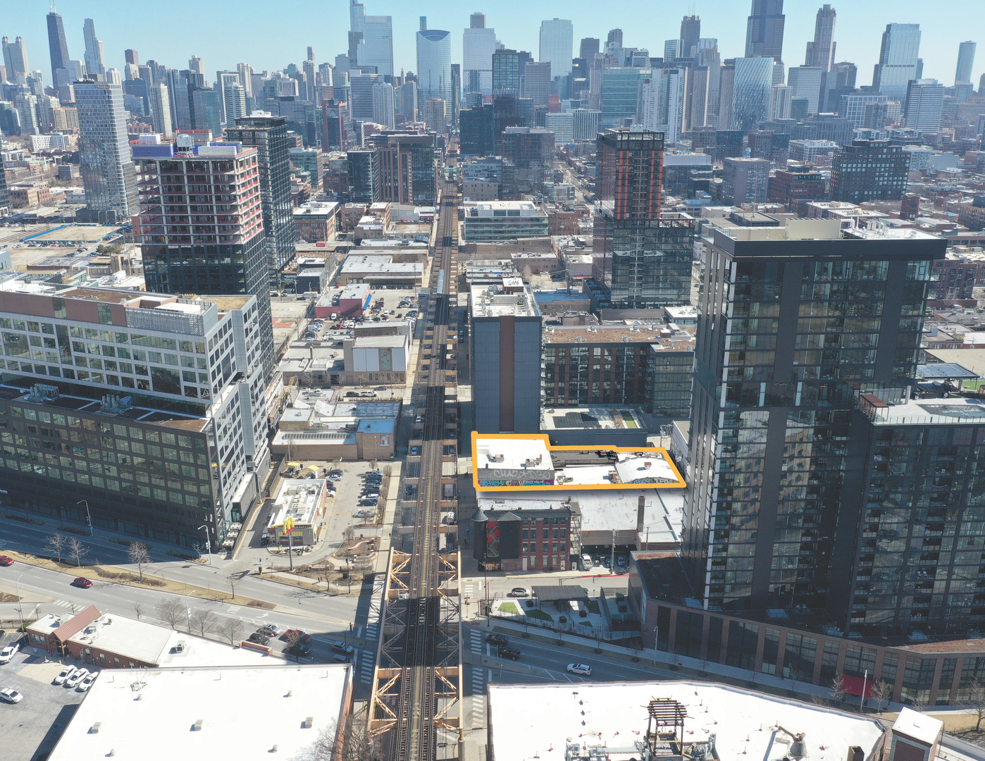
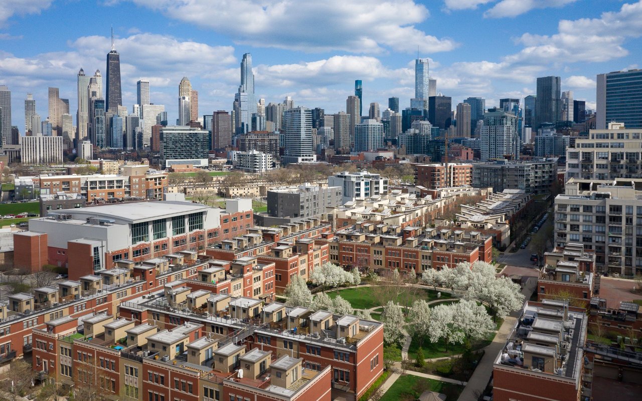
Twenty-five years ago, the blocks west of the Kennedy Expressway held meatpacking plants, produce terminals, and railroad sidings. Today those same blocks hold some of the most sought-after loft condos in the city, a stretch of Randolph Street that carries its own Chicago Landmark designation for its restaurant density, and Google's Chicago headquarters. West Loop's transformation from industrial corridor to residential and dining destination happened fast, and it's still happening: cranes are a permanent fixture on the skyline here, even as the neighborhood's warehouse bones keep showing through in exposed brick, timber ceilings, and cast-iron columns that builders now treat as selling points rather than something to cover up.
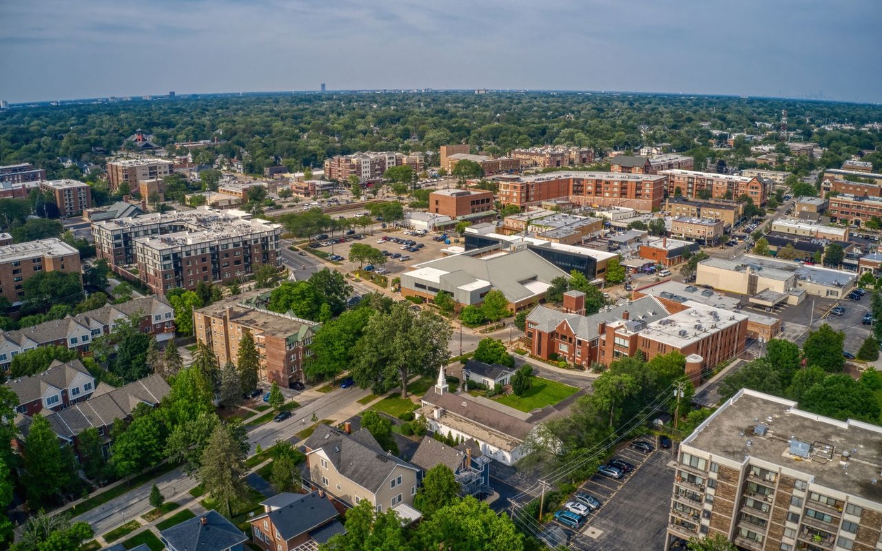
Part of the Near West Side community area, West Loop sits directly across the Kennedy Expressway from the Loop, close enough that most residents can walk downtown in fifteen minutes or catch the Green or Pink Line for two stops. The neighborhood skews young: the median resident is just over 32, and nearly two-thirds fall between 25 and 44. Almost four in five households here are made up of one person or unrelated roommates rather than families, a pattern that shapes everything from the restaurant scene to the building stock.
Fulton Market, the district's northern flank, gets its own name in local real estate listings, but it grew out of the same wholesale produce and meatpacking economy as the rest of West Loop, and the two are treated as one contiguous neighborhood for most practical purposes, including this guide.
The neighborhood's industrial identity goes back to the Great Chicago Fire of 1871, which started on the Near West Side and reshaped how the city built afterward, favoring brick and stone warehouses over wood-frame construction — many of the same masonry buildings that now house condos and restaurants. Through the late nineteenth and twentieth centuries, the area functioned as one of the city's primary manufacturing and wholesale hubs, with the South Water Market handling produce distribution along the river and meatpacking operations, including the Fulton-Randolph Market, running for decades along Fulton Street and Randolph Street.
Change accelerated after the South Water Market relocated in the 1920s and picked up again in earnest starting in the late 1990s and 2000s, as developers began converting vacant warehouses into loft condos and restaurateurs discovered cheap rents and dramatic industrial spaces on Randolph and Fulton. The city recognized what had happened in 2015, designating the Fulton-Randolph Market District a Chicago Landmark, formal protection for a stretch of buildings that had gone from wholesale produce terminals to some of the most talked-about restaurant real estate in the Midwest. Google's decision to anchor its Chicago headquarters in a converted cold-storage warehouse on Fulton Market in 2015 marked another turning point, pulling tech and corporate offices into a neighborhood previously defined by food distribution.
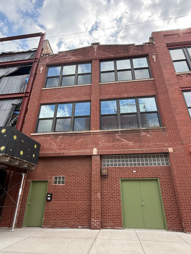
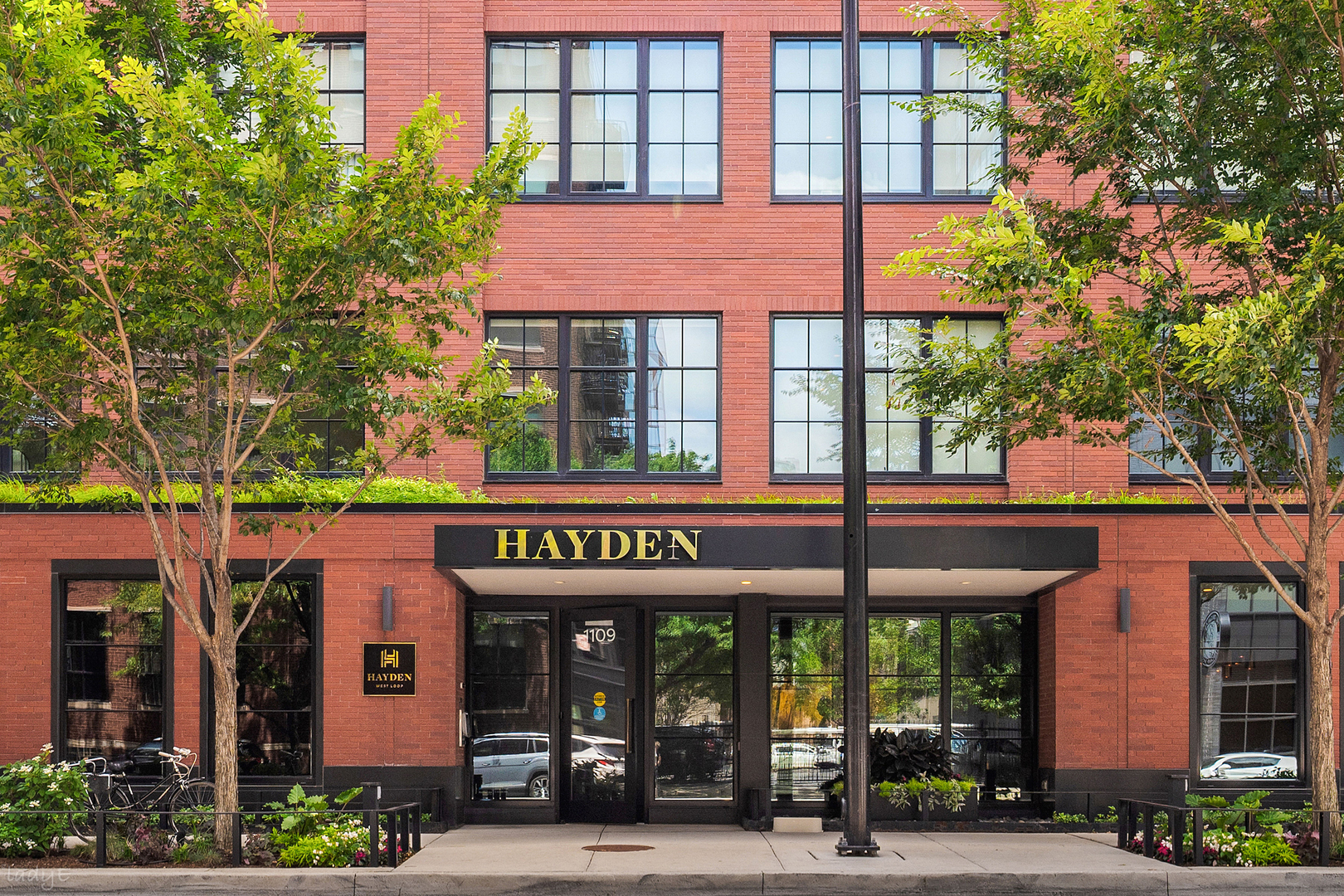
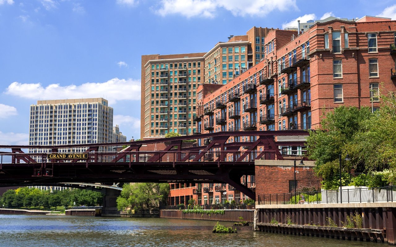
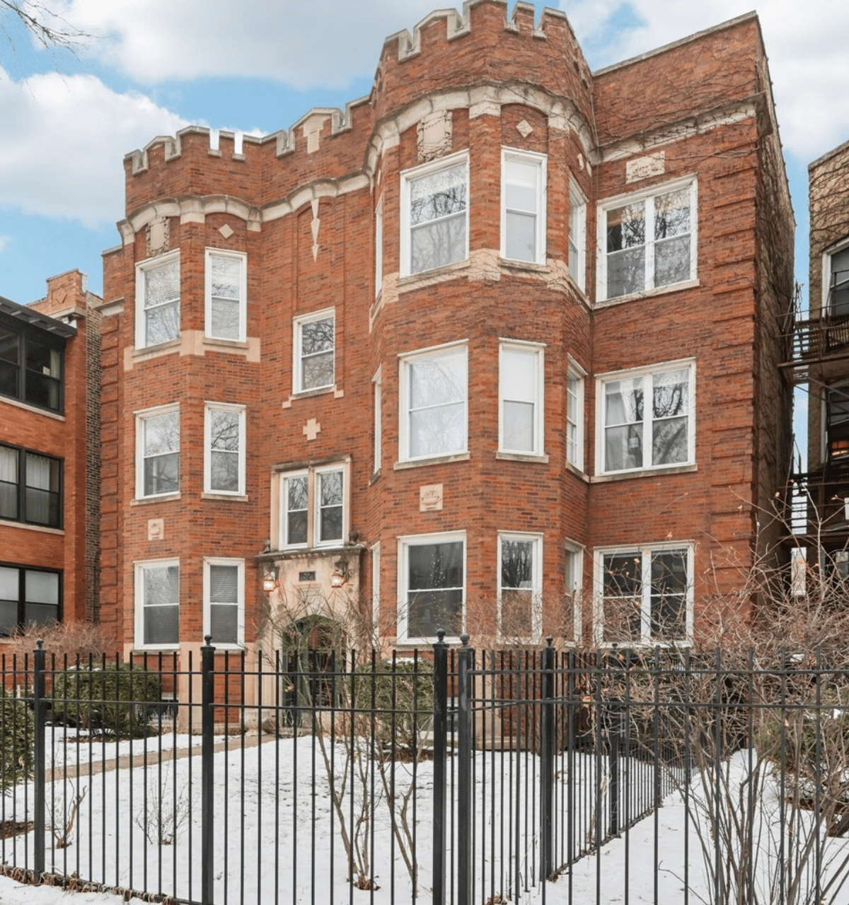
Nearly nine in ten housing units in West Loop sit in buildings with fifty or more units, and that concentration shows up in the character of the market: this is a neighborhood of condos and apartments, not single-family homes. Converted warehouse lofts, many with the original heavy timber, exposed brick, and cast-iron column details intact, sit alongside newer construction that leans into floor-to-ceiling glass and rooftop amenities. Bennett Day School aside, most of the building stock here went up or was renovated within the last two decades, giving West Loop one of the youngest housing inventories of any Chicago neighborhood.
Buyers looking at West Loop are typically choosing between three product types: original loft conversions in century-old brick-and-timber buildings, mid-rise new construction from the 2000s and 2010s, and the newest wave of high-rise towers closer to the expressway and Fulton Market. Each comes with a different trade-off between character and amenities, but all three put residents within easy walking distance of Randolph Street's restaurant row.
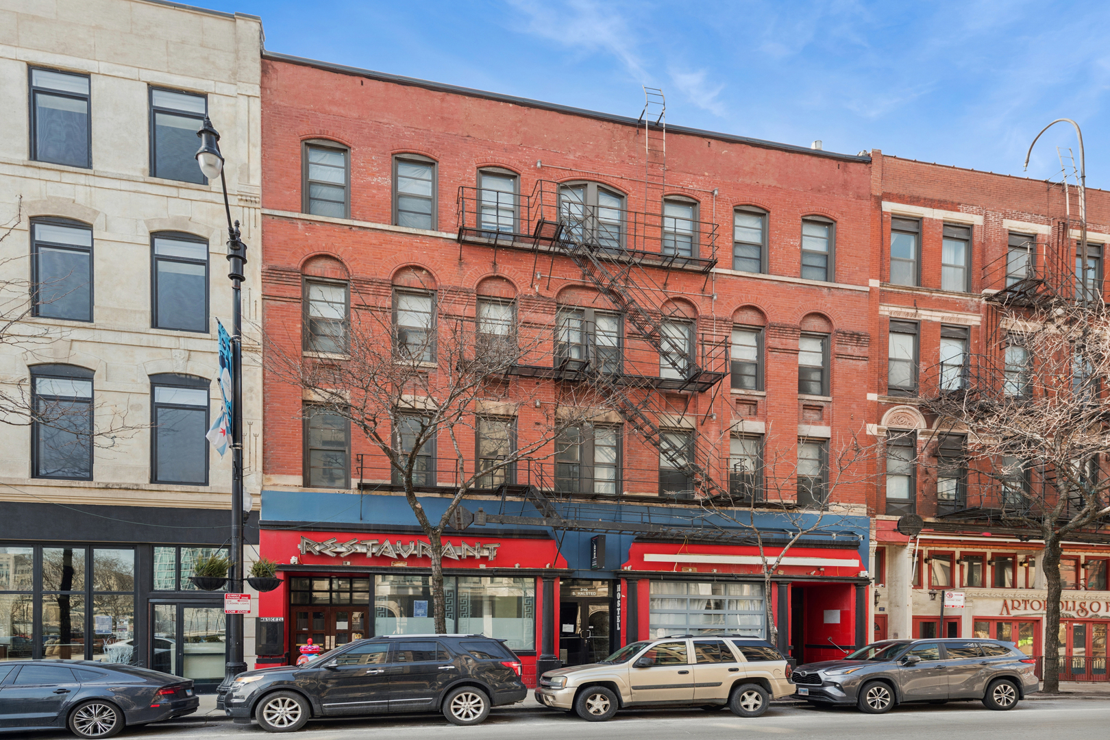
Randolph Street earned its Chicago Landmark status because of what's inside the buildings as much as the buildings themselves: a dense run of chef-driven restaurants that has made the corridor a genuine dining destination rather than just a neighborhood amenity. The Fulton Market District extends that food-and-drink identity north and west, mixing restaurants with boutique hotels, creative offices, and the wholesale meat and produce businesses that haven't yet relocated. Greektown, along Halsted Street between Van Buren and Madison, adds a older, more established restaurant row with roots in the neighborhood's Greek immigrant community, even as most Greek residents have since moved to the suburbs.
Grocery and everyday retail have followed the residential boom, with several full-size grocery stores now serving the neighborhood directly rather than requiring a drive to adjacent areas.
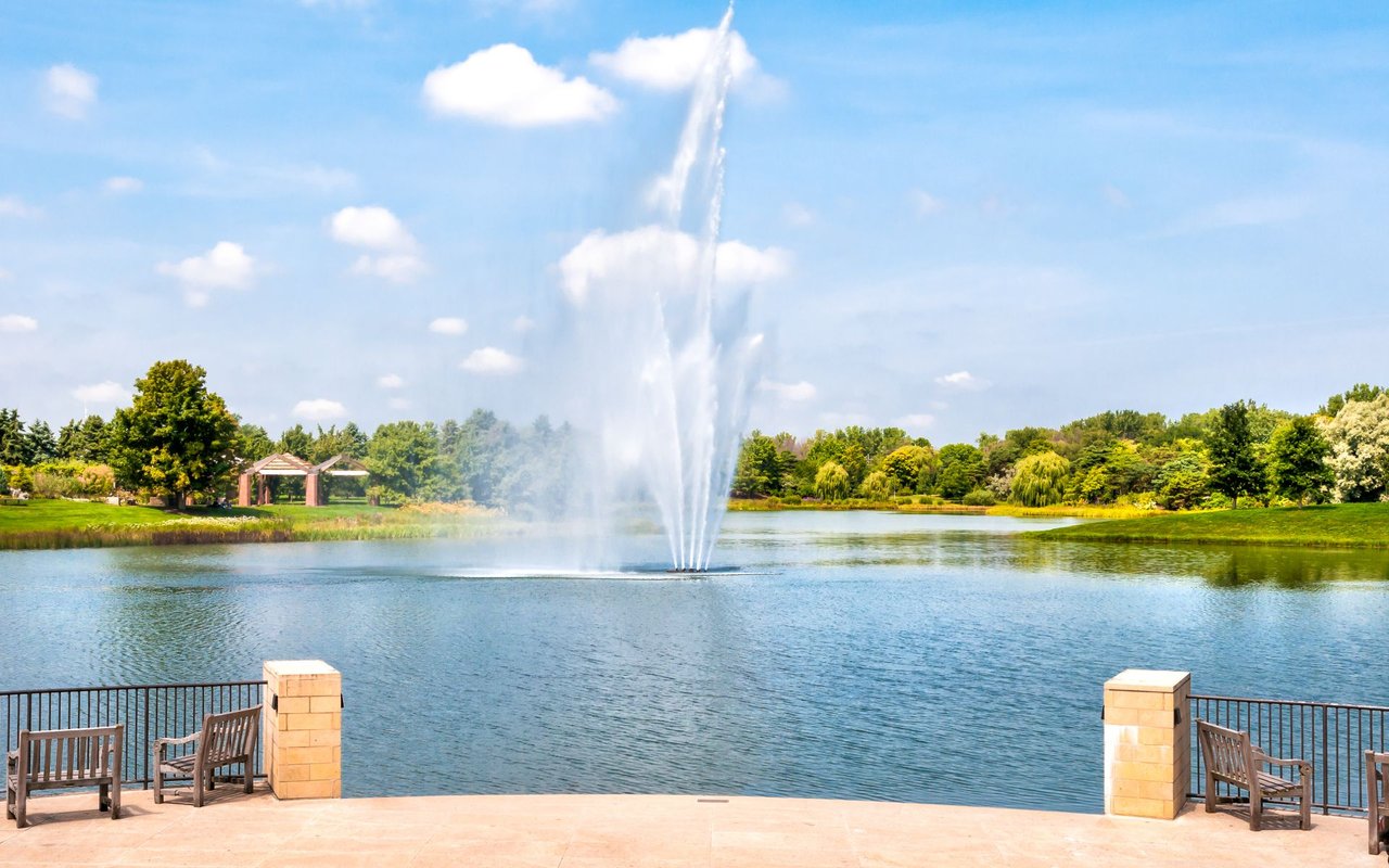
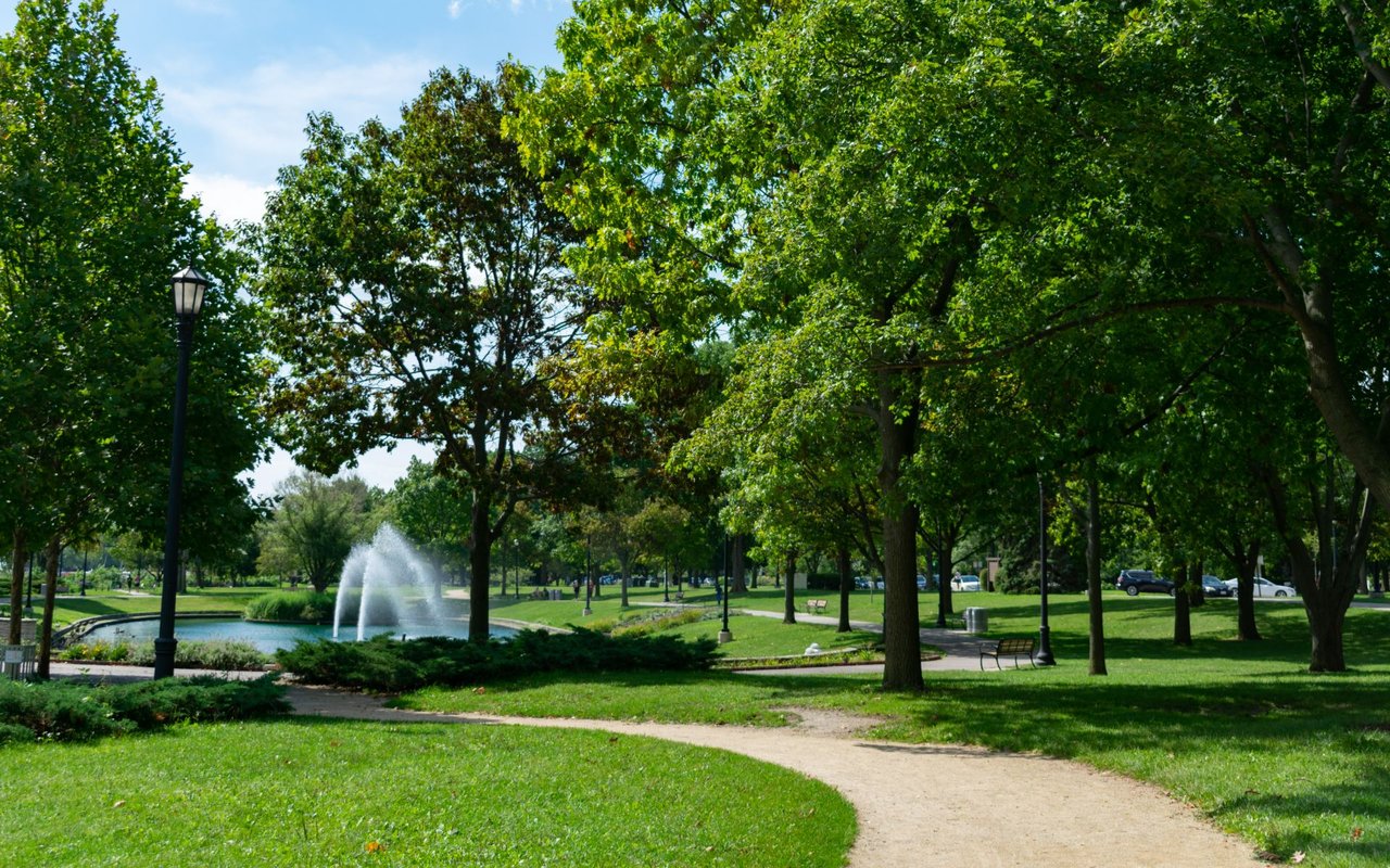
Green space here tends to be smaller and more design-forward than in older residential neighborhoods, reflecting the fact that most of it was built recently, purpose-built for a dense population rather than inherited from an earlier era. Mary Bartelme Park, an award-winning small park with a dog run and interactive water feature, anchors the neighborhood's northern section. Union Park, at fourteen acres, is considerably larger, with a swimming pool, sports fields, and a history as a host site for the Pitchfork Music Festival. Skinner Park adds seven more acres of athletic fields, and River Point Park offers landscaped riverfront space along the Chicago River's edge.
Families researching schools in West Loop should know that the neighborhood's education options run through selective enrollment more than a single assigned attendance boundary. Skinner West Elementary, a selective-enrollment classical school with strong ratings, serves part of the area, and Whitney M. Young Magnet High School, ranked among the top public high schools in Illinois, sits within the broader Near West Side and admits citywide through the same selective-enrollment process rather than by neighborhood boundary. A handful of private options, including Bennett Day School, also operate within the neighborhood itself.
Getting Around: Location & Access
Transit access is one of West Loop's strongest selling points. The CTA's Green and Pink Lines stop at Morgan and Ashland/Lake, the Blue Line runs through Grand and UIC-Halsted, and Union Station and the Ogilvie Transportation Center, both within walking distance for much of the neighborhood, put Metra's entire commuter rail network in easy reach. The convergence of Interstates 290 and 90/94 at the Jane Byrne Interchange sits just to the west, giving drivers fast expressway access in multiple directions. With an average commute of about fourteen minutes and more than half of residents saying they typically walk to work or errands, many people here get by comfortably without a car.
Roughly two out of three West Loop residents fall between 25 and 44, and the social fabric of the neighborhood follows from that: a dense restaurant and bar scene, dog parks that double as informal meeting spots, and a steady flow of new residents drawn by proximity to downtown jobs. It's not a neighborhood built around block parties and front-porch culture the way some of Chicago's older residential areas are, but the recent addition of family-oriented park space and a slowly growing number of young families signals a neighborhood in the middle of figuring out its next chapter, even as its restaurant-and-nightlife identity remains the dominant one.
West Loop is one of several Near West Side and downtown-adjacent neighborhoods that have gone through their own version of an industrial-to-residential transformation. The table below is a general character comparison, not a market analysis.
Q. What is West Loop known for?
A. Its restaurant scene, especially the Chicago Landmark-designated stretch of Randolph Street, along with converted warehouse lofts and its proximity to downtown.
Q. Is Fulton Market the same as West Loop?
A. Fulton Market is the northern section of West Loop, historically the neighborhood's wholesale produce and meatpacking district. Real estate listings sometimes treat it as its own micro-neighborhood, but it's part of the same broader area.
Q. What kind of housing is available in West Loop?
A. Mostly condos and apartments in mid-rise and high-rise buildings, including original warehouse loft conversions and newer construction — there's very little single-family housing stock.
Q. Are there good public schools in West Loop?
A. Skinner West Elementary, a selective-enrollment school, serves part of the neighborhood, and Whitney M. Young Magnet High School sits nearby, though it admits citywide through selective enrollment rather than a fixed boundary.
Q. How walkable is West Loop?
A. Very. The neighborhood carries a Walk Score of 98, and more than half of residents say they typically walk to work or run errands on foot.
Q. What's the commute like from West Loop into downtown Chicago?
A. Short — the average commute is about fourteen minutes, and most of downtown is reachable by foot, bike, or a one-to-two-stop train ride.
Q. Is West Loop a good fit for families?
A. It currently skews toward young professionals living alone or with roommates, though park investment and a slowly growing family population are changing that mix.
Q. What happened to West Loop's old warehouses and meatpacking plants?
A. Most were converted into loft condominiums, restaurants, offices, or creative workspace, a shift formally recognized when the Fulton-Randolph Market District was designated a Chicago Landmark in 2015.
Q. How do you get around West Loop without a car?
A. The Green, Pink, and Blue Lines all serve the neighborhood, Union Station and the Ogilvie Transportation Center are within walking distance for commuter rail, and the neighborhood's Bike Score sits in the low 90s.
West Loop sits close to several other Chicago neighborhoods worth touring, including Fulton Market, River North, and South Loop.
28,474 people live in West Loop, where the median age is 34 and the average individual income is $120,275. Data provided by the U.S. Census Bureau.
Total Population
Median Age
Population Density Population Density This is the number of people per square mile in a neighborhood.
Average individual Income
There's plenty to do around West Loop, including shopping, dining, nightlife, parks, and more. Data provided by Walk Score and Yelp.
Explore popular things to do in the area, including Sampco, Direct Import Division of Southern Wine and Spirits, and Clark Street Sports.
| Name | Category | Distance | Reviews |
Ratings by
Yelp
|
|---|---|---|---|---|
| Dining | 0.4 miles | 0 reviews | 0/5 stars | |
| Dining | 0.55 miles | 0 reviews | 0/5 stars | |
| Shopping | 0.7 miles | 0 reviews | 0/5 stars | |
| Active | 0.18 miles | 2 reviews | 1/5 stars | |
| Active | 0.63 miles | 0 reviews | 0/5 stars | |
| Active | 0.66 miles | 1 review | 1/5 stars | |
|
|
||||
|
|
||||
|
|
||||
|
|
||||
|
|
||||
|
|
West Loop has 18,002 households, with an average household size of 2. Data provided by the U.S. Census Bureau. Here’s what the people living in West Loop do for work — and how long it takes them to get there. Data provided by the U.S. Census Bureau. 28,474 people call West Loop home. The population density is 45,950 and the largest age group is Data provided by the U.S. Census Bureau.
Total Population
Population Density Population Density This is the number of people per square mile in a neighborhood.
Median Age
Men vs Women
Population by Age Group
0-9 Years
10-17 Years
18-24 Years
25-64 Years
65-74 Years
75+ Years
Education Level
Total Households
Average Household Size
Average individual Income
Households with Children
With Children:
Without Children:
Marital Status
Blue vs White Collar Workers
Blue Collar:
White Collar: