NEIGHBORHOOD GUIDE
Converted Warehouses, Marina City's Towers, and a Gallery District on the Chicago River
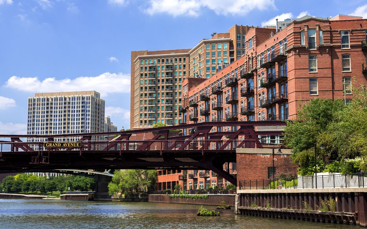
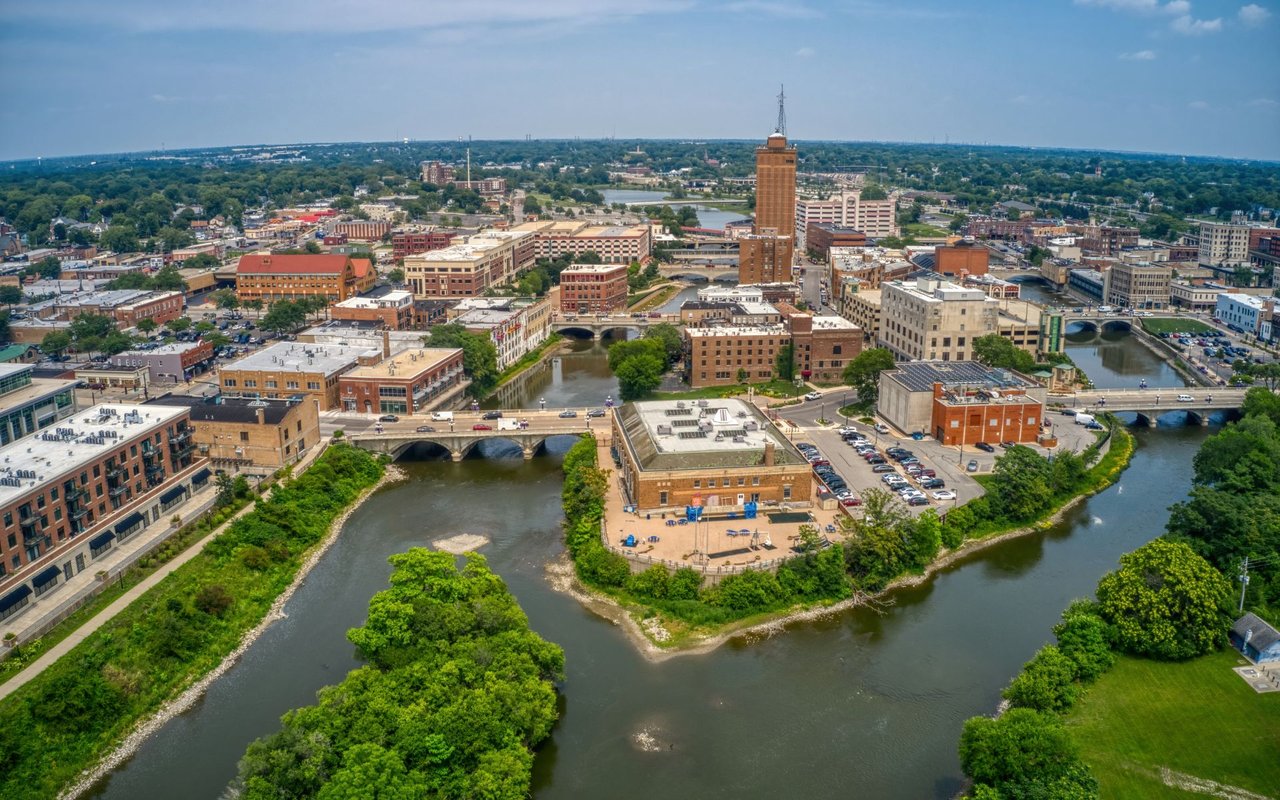
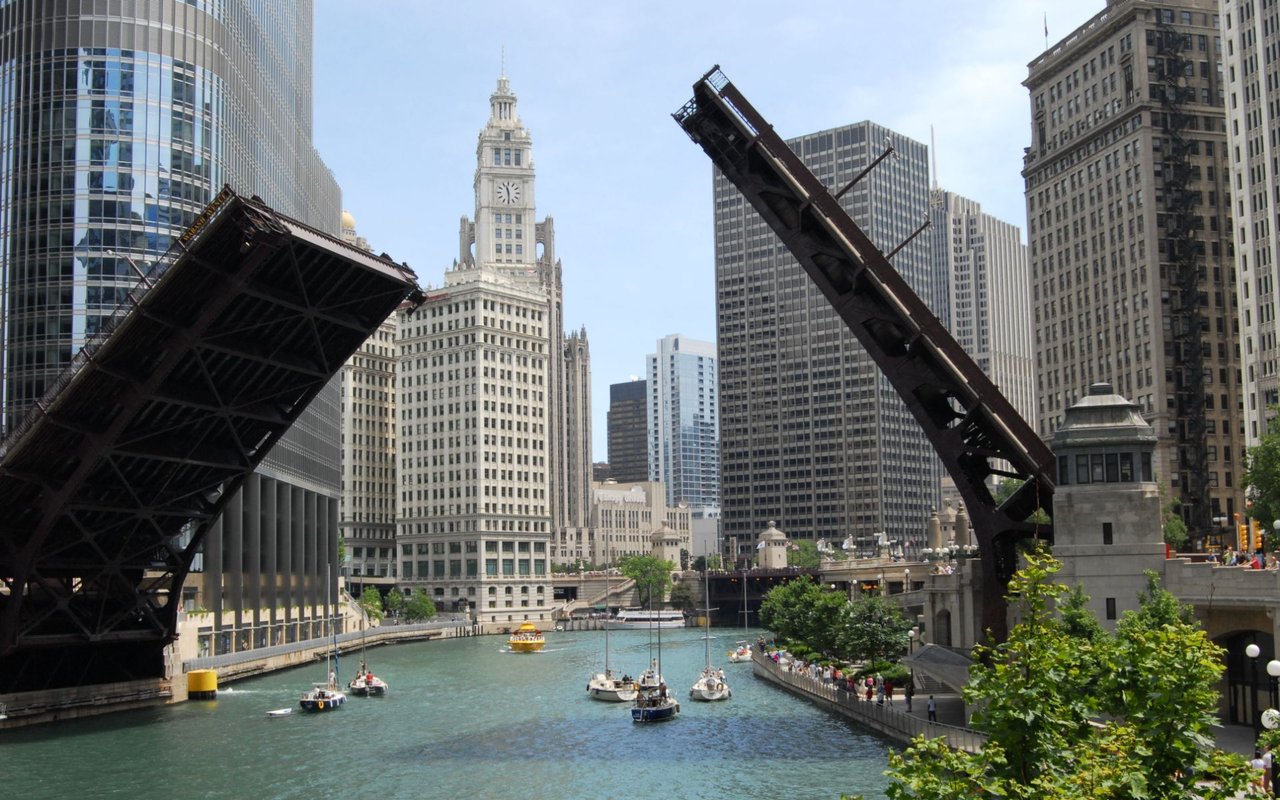
In 1974, a developer named Albert Friedman started buying and restoring commercial buildings on the north bank of the Chicago River, in blocks most people then thought of as skid row. To attract tenants, he gave the area a name, River North, and it stuck. The buildings he was working on had been built for a different city. After the 1871 fire the area filled up with warehouses, worker housing, and shipping yards, and the Merchandise Mart, finished in 1930 and the largest building in the world when it opened, still has railroad tracks running underneath it. When the port moved away and the industry went with it, the empty brick-and-timber buildings became cheap space for artists, then galleries, then apartments, offices, and restaurants. Marina City's round towers went up in the early 1960s, and a gallery district took hold in the late 1970s. What's here now is mostly those layers: old warehouses reused, a few landmarks that hold their ground, and newer towers along the river.
River North is a neighborhood in the Near North Side community area, directly across the Chicago River from the Loop. It's generally bounded by the river on the south and west, and sources draw the north and east edges differently. The River North Business Association's boundary, as cited on Wikipedia, runs north of the river, south of Division Street, and west of Wabash Avenue, while other definitions use Chicago Avenue to the north and Michigan Avenue to the east. No single official line exists, so addresses near Division, Wabash, or Michigan are worth confirming. Gold Coast and Old Town are to the north, Streeterville is to the east, and Goose Island is on the North Branch to the west.
Wolf Point, at the fork of the river on the neighborhood's southern edge, is where much of Chicago's earliest commercial life began. James Kinzie built a tavern on the west bank in 1828, and a wolf sign hung outside by about 1833. The origin of the name is uncertain, and there are competing explanations. Archibald Clybourn ran the first ferry, and streets here still carry the names of early settlers, including Hubbard, Kinzie, Taylor, Clybourn, and Noble.
Irish factory workers settled near the fork of the river in a district called Kilgubbin, and when Ogden's railroad arrived in 1848 it pushed them north along the water. A Sicilian community joined the Irish in the 1880s. The Great Chicago Fire of October 8 to 10, 1871 crossed the river into the Near North Side and burned through its densely populated blocks. The area was rebuilt with warehouses, worker housing, and shipping facilities, and railroads along the north bank brought more industry. In 1924, the gangster Dean O'Banion was shot dead in his flower shop at State and Superior, across the street from Holy Name Cathedral. From the 1920s to the 1960s, the port moved away and the area declined.
The Merchandise Mart, built for Marshall Field & Co. as a wholesale center and designed by Alfred P. Shaw of Graham, Anderson, Probst & White, opened on May 5, 1930. It has about four million square feet, and it was the largest building in the world at the time. It was one of the first buildings in Chicago built over railway air rights. A group led by Joseph P. Kennedy bought it in 1945. Marina City, designed by Bertrand Goldberg, broke ground on November 22, 1960, and the first tenants moved in in October 1962. The Chicago Landmarks designation followed in 2016, approved 48 to 0 by the City Council.
By the mid-1970s many of the old buildings were neglected, and artists moved in for the low prices and large spaces. Roy Boyd moved his gallery to River North in 1979, and the district peaked in the 1980s around Superior and Huron. A five-alarm fire on April 15, 1989 destroyed the block bounded by Huron, Sedgwick, Orleans, and Superior, which held nine galleries. The cause was never determined, and Zolla/Lieberman was the only one of the nine still operating in 2019.
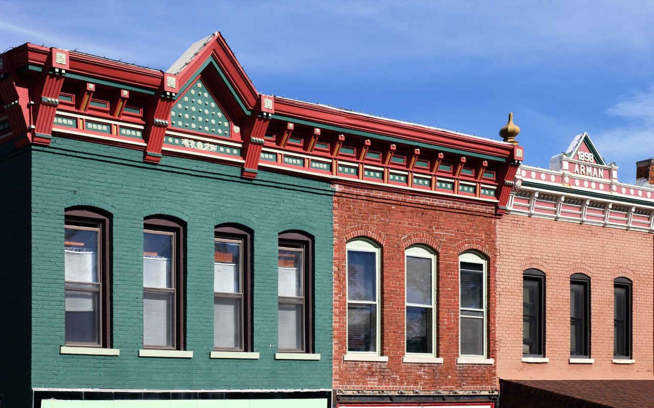
Across the Near North Side as a whole, nearly nine in ten homes are in buildings with 20 or more units, according to CMAP. River North's older buildings were reused rather than torn down, and historic buildings now hold galleries, studios, offices, apartments, restaurants, and shops. The Reid, Murdoch & Co. Building at 325 N. LaSalle, built in 1913–14 by George C. Nimmons, is a Chicago Landmark and on the National Register of Historic Places. It served as a makeshift hospital after the steamer Eastland capsized in the river in 1915. Courthouse Place at 54 W. Hubbard, a Richardsonian Romanesque building from 1893, housed the Cook County criminal courts for 35 years, including the Leopold and Loeb trial and the Black Sox trial.
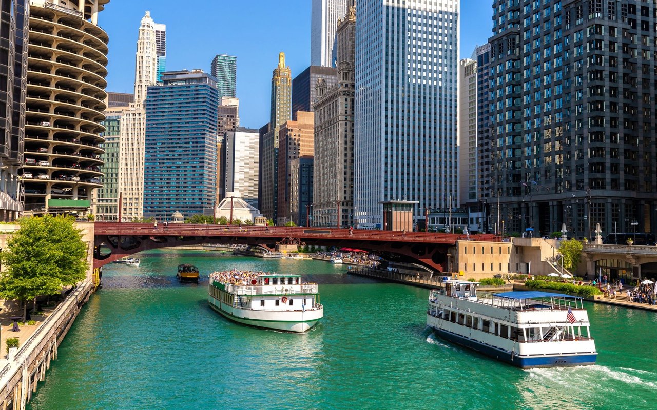
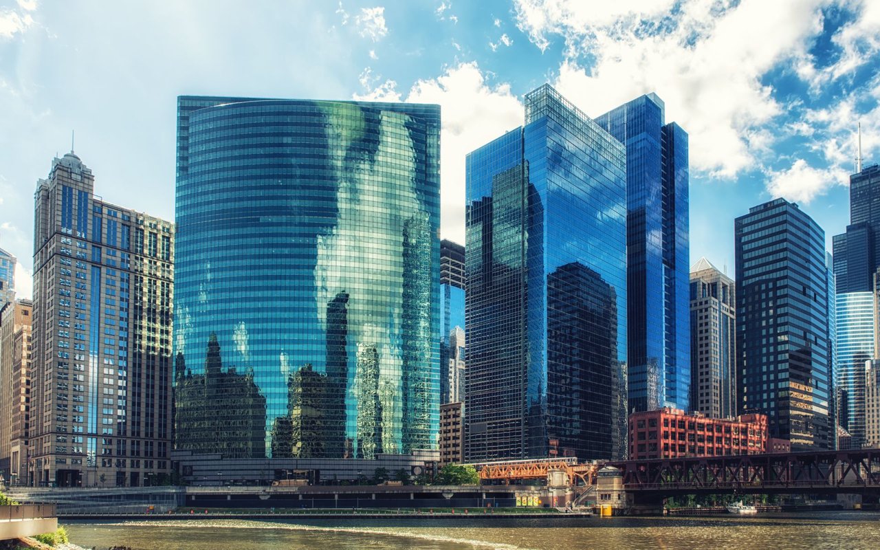
Marina City's two residential towers have 896 apartments between them, and the complex was the first mixed-use high-rise of its kind in the city center, according to the City's landmark report. Its bottom floors are a spiral parking ramp. Newer towers sit along the river, including Wolf Point West, a 46-story tower from 2016. 330 N. Wabash, designed by Mies van der Rohe, is a 52-story building that became a Chicago Landmark in 2008 and was listed on the National Register in 2010. The Langham hotel occupies its lower floors.
Tree Studios, at 601–623 N. State, was built in 1894 with annexes added in 1912 and 1913. The City calls it the nation's oldest known artist studio complex. A trust limited residence to artists until 1959, and residents have included the sculptors Albin Polasek and John Storrs and the actors Peter Falk and Burgess Meredith. Medinah Temple, at 600 N. Wabash, was built in 1912 by Huehl & Schmid for the Shriners and had a 4,200-seat auditorium. The Montgomery Ward & Co. Catalog House, at 600–618 W. Chicago Avenue, was built in 1907–08 and is both a Chicago Landmark and a National Historic Landmark.
Holy Name Cathedral, at 735 N. State, was dedicated in 1875 and replaced the first church of that name, which burned in the 1871 fire. The Poetry Foundation, at 61 W. Superior, opened its current building in 2011. John Ronan Architects designed it, and it has a free-entry library with about 30,000 volumes, an exhibition space, and a performance space.
Ogden International School is the Chicago Public Schools campus most associated with the area. Its East Campus is at 24 W. Walton (K–4), its Jenner Campus at 1119 N. Cleveland (PreK and grades 5–8), and its West Campus, for grades 9 to 12, at 1250 W. Erie. Moody Bible Institute is near the Chicago/Franklin station. Attendance boundaries and admission rules change, so confirm any address with CPS.
Many of the converted buildings hold restaurants and shops, and the gallery district is centered on Superior, Huron, and Franklin. Chicago Gallery News publishes gallery walk and open house listings for the area. House of Blues occupies the former theater in Marina City, and the Merchandise Mart continues to host design showrooms.
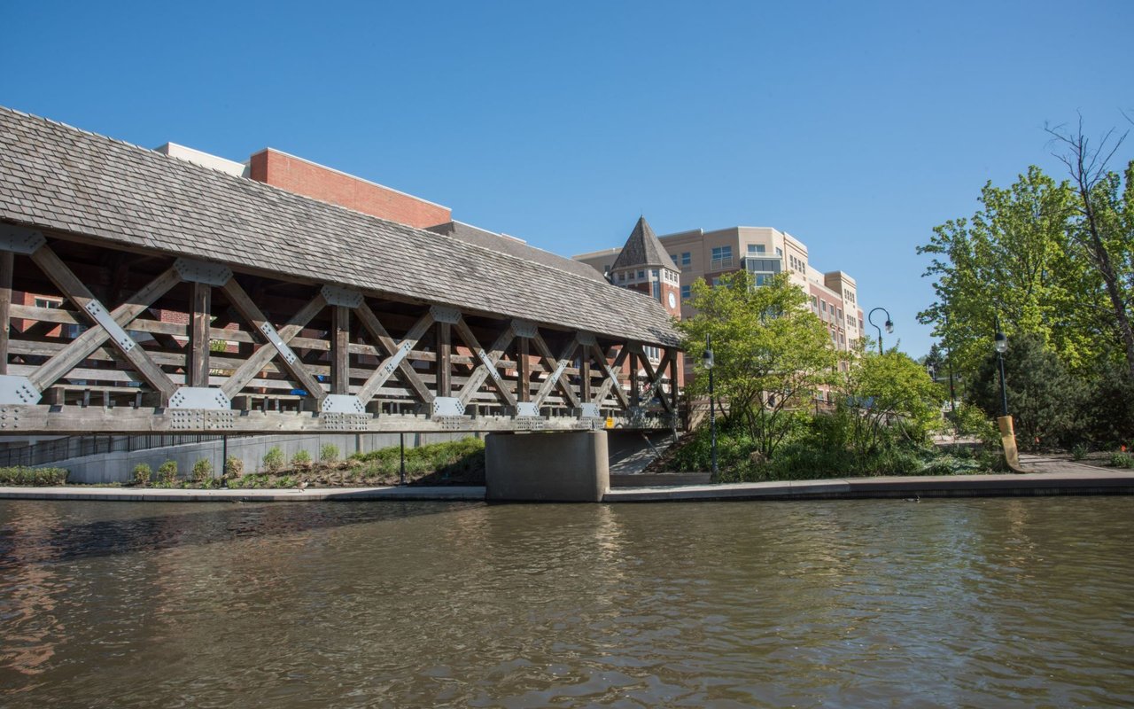
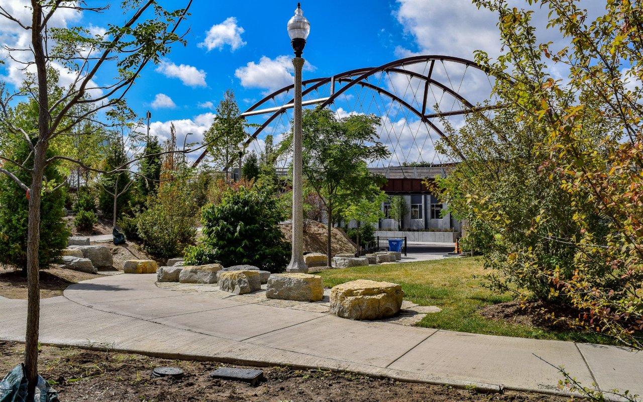
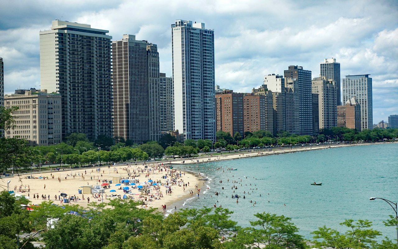
The Chicago Riverwalk runs along the river from Lake Michigan west to Lake Street, about 1.25 miles in all. The first sections, Marina Plaza, The Cove, and the River Theater, opened in 2015, and the last, Water Plaza, The Jetty, and the Boardwalk, finished in 2016. A. Montgomery Ward Park, at 630 N. Kingsbury, covers about three acres along the river, with a riverfront promenade, a playground, a dog-friendly area, a spray pool, a mosaic wall, and Sheila Klein's Commemorative Ground Ring, installed in 2005. The Park District bought the southern two acres in 2000, and the park was named for Aaron Montgomery Ward in 2010. Ohio Street Beach is just east in Streeterville.
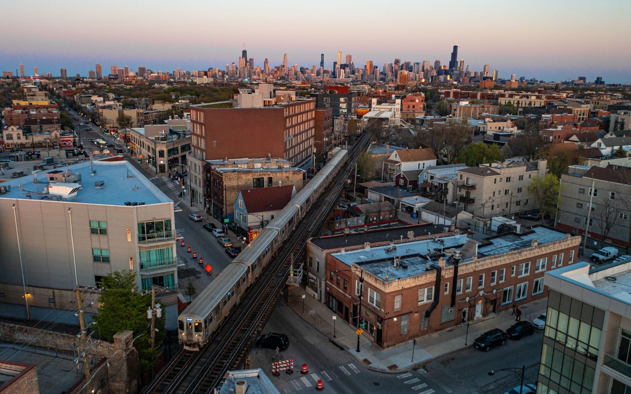
The Merchandise Mart station, at 350 N. Wells, serves the Brown and Purple lines on an elevated platform, with connecting buses 37 and 125. Grand, at 521 N. State, is a Red Line subway station with buses 29, 36, and 65. Chicago, at 800 N. State, is also on the Red Line, and it opened in 1943. The Brown Line's Chicago station, at 300 W. Chicago, opened in 1900 and was rebuilt between 2006 and 2008. The Purple Line Express stops there on weekday rush hours.
The River North Residents Association, a volunteer-led nonprofit that has been active since 1997, attends CAPS beat meetings, reviews development proposals, runs River North Clean Streets, and supports Ward Park, including an outdoor film program there. The Near North Side was Chicago's largest and most densely populated community area in the 2020 Census.
River North borders several neighborhoods that were built in different decades and for different uses. The table below is a general character comparison, not a market analysis.
Q. Where is River North?
A. North of the Chicago River, directly across from the Loop, in the Near North Side community area.
Q. Why is it called River North?
A. Developer Albert Friedman used the name when he began buying and restoring commercial buildings there in 1974. Before that the area was associated with Kilgubbin and Smokey Hollow.
Q. What are the boundaries of River North?
A. It's generally bounded by the Chicago River on the south and west. Sources draw the north and east edges differently, using Division Street or Chicago Avenue to the north and Wabash Avenue or Michigan Avenue to the east.
Q. Is River North in the Loop?
A. No. The Loop is south of the river, and River North is north of it.
Q. What is the River North gallery district?
A. A cluster of galleries centered on Superior, Huron, and Franklin Streets. It started in 1979, when Roy Boyd moved his gallery there.
Q. Is the Merchandise Mart in River North?
A. Yes. It opened in 1930 and was the largest building in the world at the time. Railroad tracks still run beneath it.
Q. Is Marina City a landmark?
A. Yes. The City Council designated it a Chicago Landmark in February 2016, effective March 16, 2016.
Q. Which CTA lines serve River North?
A. The Red Line at Grand and Chicago, and the Brown and Purple lines at Merchandise Mart and Chicago/Franklin.
Q. What is the Chicago Riverwalk?
A. About 1.25 miles of walkway along the river from Lake Michigan to Lake Street, finished in 2016.
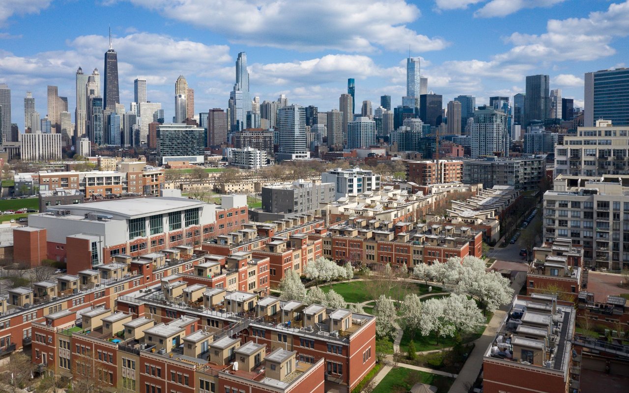
River North sits close to several other Chicago neighborhoods worth touring, including Gold Coast, Streeterville, and Old Town.
28,233 people live in River North, where the median age is 35 and the average individual income is $137,106. Data provided by the U.S. Census Bureau.
Total Population
Median Age
Population Density Population Density This is the number of people per square mile in a neighborhood.
Average individual Income
There's plenty to do around River North, including shopping, dining, nightlife, parks, and more. Data provided by Walk Score and Yelp.
Explore popular things to do in the area, including Aumarche, Urban Renuil, and Vice Versa.
| Name | Category | Distance | Reviews |
Ratings by
Yelp
|
|---|---|---|---|---|
| Dining | 0.07 miles | 0 reviews | 0/5 stars | |
| Dining · $$ | 0.33 miles | 9 reviews | 1.2/5 stars | |
| Shopping | 0.14 miles | 0 reviews | 0/5 stars | |
| Shopping | 0.14 miles | 0 reviews | 0/5 stars | |
| Shopping | 0.2 miles | 0 reviews | 0/5 stars | |
| Shopping | 0.39 miles | 1 review | 1/5 stars | |
| Active | 0.14 miles | 4 reviews | 5/5 stars | |
| Active | 0.14 miles | 1 review | 5/5 stars | |
| Active | 0.29 miles | 2 reviews | 5/5 stars | |
| Active | 0.3 miles | 0 reviews | 0/5 stars | |
| Beauty | 0.09 miles | 4 reviews | 5/5 stars | |
| Beauty | 0.14 miles | 0 reviews | 0/5 stars | |
| Beauty | 0.26 miles | 56 reviews | 2.4/5 stars | |
| Beauty | 0.32 miles | 31 reviews | 4.2/5 stars | |
| Beauty | 0.33 miles | 0 reviews | 0/5 stars | |
| Beauty | 0.35 miles | 0 reviews | 0/5 stars | |
| Beauty | 0.37 miles | 89 reviews | 4.2/5 stars | |
| Beauty | 0.38 miles | 1 review | 5/5 stars | |
| Beauty | 0.48 miles | 2 reviews | 5/5 stars | |
|
|
||||
|
|
||||
|
|
||||
|
|
||||
|
|
||||
|
|
River North has 18,729 households, with an average household size of 2. Data provided by the U.S. Census Bureau. Here’s what the people living in River North do for work — and how long it takes them to get there. Data provided by the U.S. Census Bureau. 28,233 people call River North home. The population density is 67,450 and the largest age group is Data provided by the U.S. Census Bureau.
Total Population
Population Density Population Density This is the number of people per square mile in a neighborhood.
Median Age
Men vs Women
Population by Age Group
0-9 Years
10-17 Years
18-24 Years
25-64 Years
65-74 Years
75+ Years
Education Level
Total Households
Average Household Size
Average individual Income
Households with Children
With Children:
Without Children:
Marital Status
Blue vs White Collar Workers
Blue Collar:
White Collar: